|
Scanned pictures from "Lamco i Liberia"
by Torsten Gårdlund, 1967
Click on any picture to get a larger version

Typical houses in Yekepa - Area F
(above), Area C (?) below

Yekepa from the air. Area F in foreground, area E below with
School.

The International School in Yekepa.

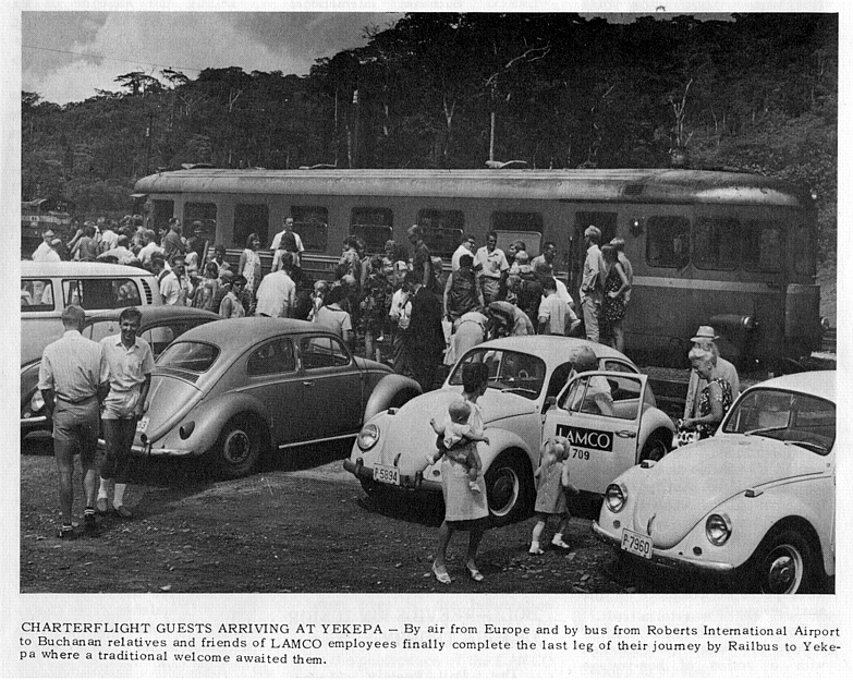
The rail bus on which all visitors arrived.

Schematic map of the Buchanan area.

Topographic map showing Yekepa and the road to the mine.

Another schematic map of Yekepa.
|