 |
Liberian village. Picture
thanks to Bernt Karlsson. Full Size here. |
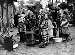 |
Liberian Women. Picture
thanks to Bernt Karlsson. Full Size here. |
 |
Mountain top. Picture thanks
to Bernt Karlsson. Full size
here. |
 |
Grassfield in the 1960's. The picture is probably
taken by Ted Lenders from the road leading up to
the Geologists camp (Yila Kalle).
Picture from Peter Thejll
|
|
|
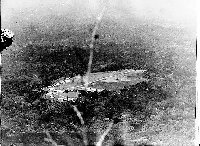
The tip of Mount Nimba, sometime 1960's or 70's.
Picture thanks to Stefan Forsmark
|
|
|
Gbapa, Lamco railroad.
December 1999. Bernt Karlsson photo.
|
|
|
Gbapa RR crossing sign.
December 1999. Bernt Karlsson photo.
|
|
|
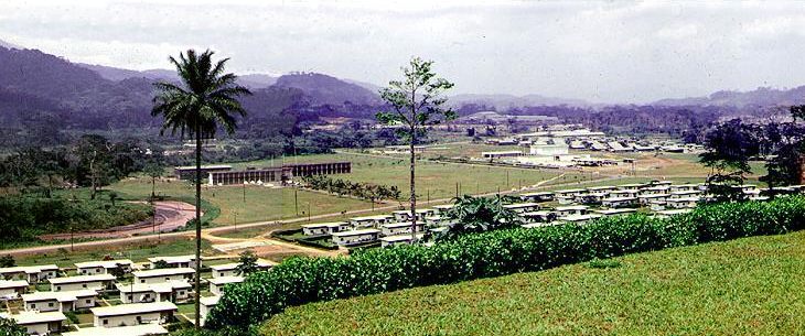
View of Area E, Main Office Building and Community
Center, from area F.
Picture thanks to Stefan Forsmark
|
|
|
Same as above, more to the right, showing area
C and beyond. Kitoma in the distance?
Picture thanks to Stefan Forsmark
|
 |
Panoramic view from F. Two images above joined
by Kurt Eriksson.
|


